My Top 5 Durango Hikes
You wanna hike something amazing? I got you. These 5 hikes showcase the natural beauty of Durango and are sure to bring the WOW factor. I've hiked all of these trails, some multiple times; I never tire of the views and feeling that they provide, whether you're a local or a visitor.
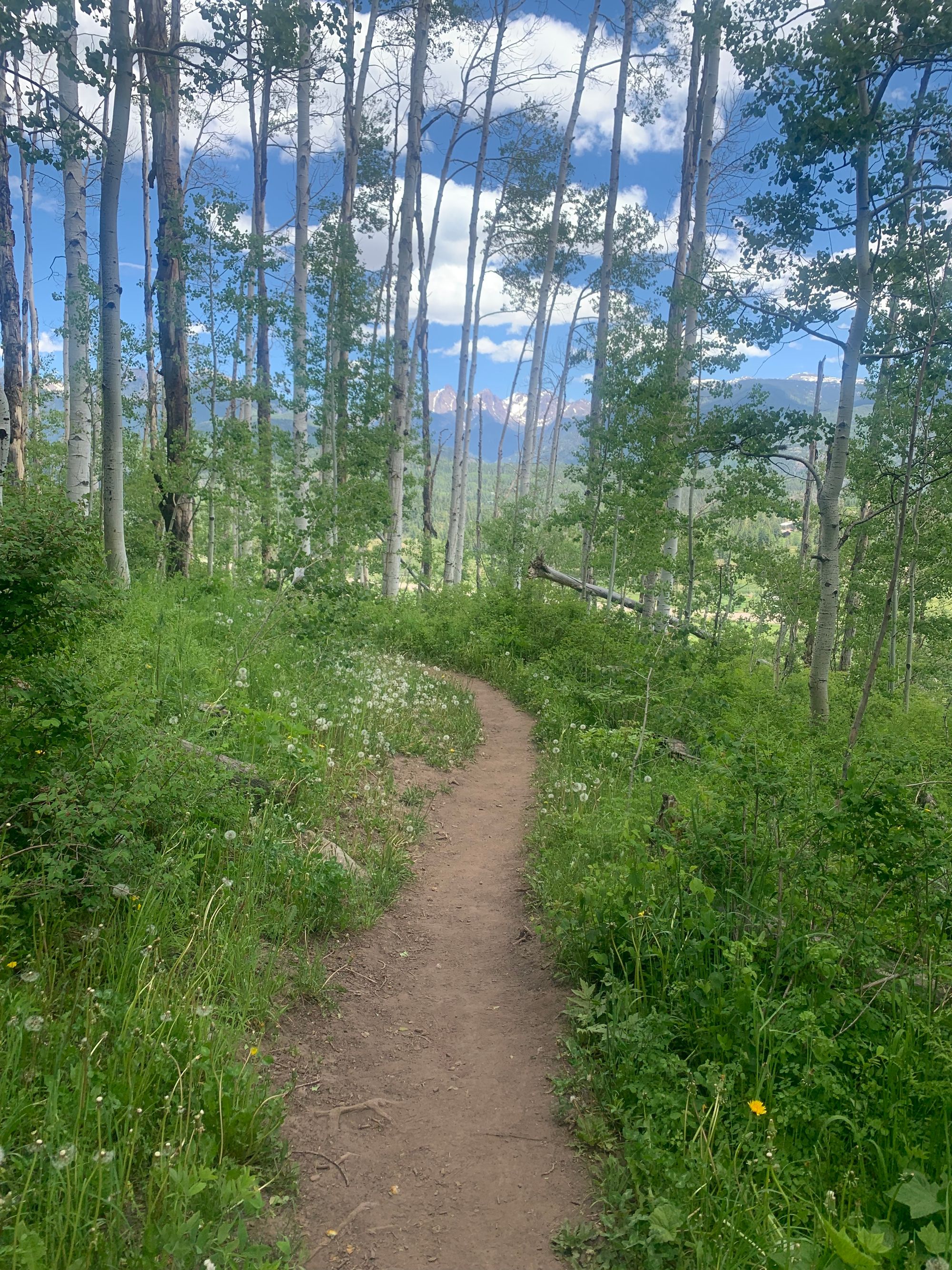
You wanna hike something amazing? I got you. These 5 hikes showcase the natural beauty of Durango and are sure to bring the WOW factor. I've hiked all of these trails, some multiple times; I never tire of the views and feeling that they provide. Whether you're a local or a visitor, these are my tried and true.
Animas River Trail
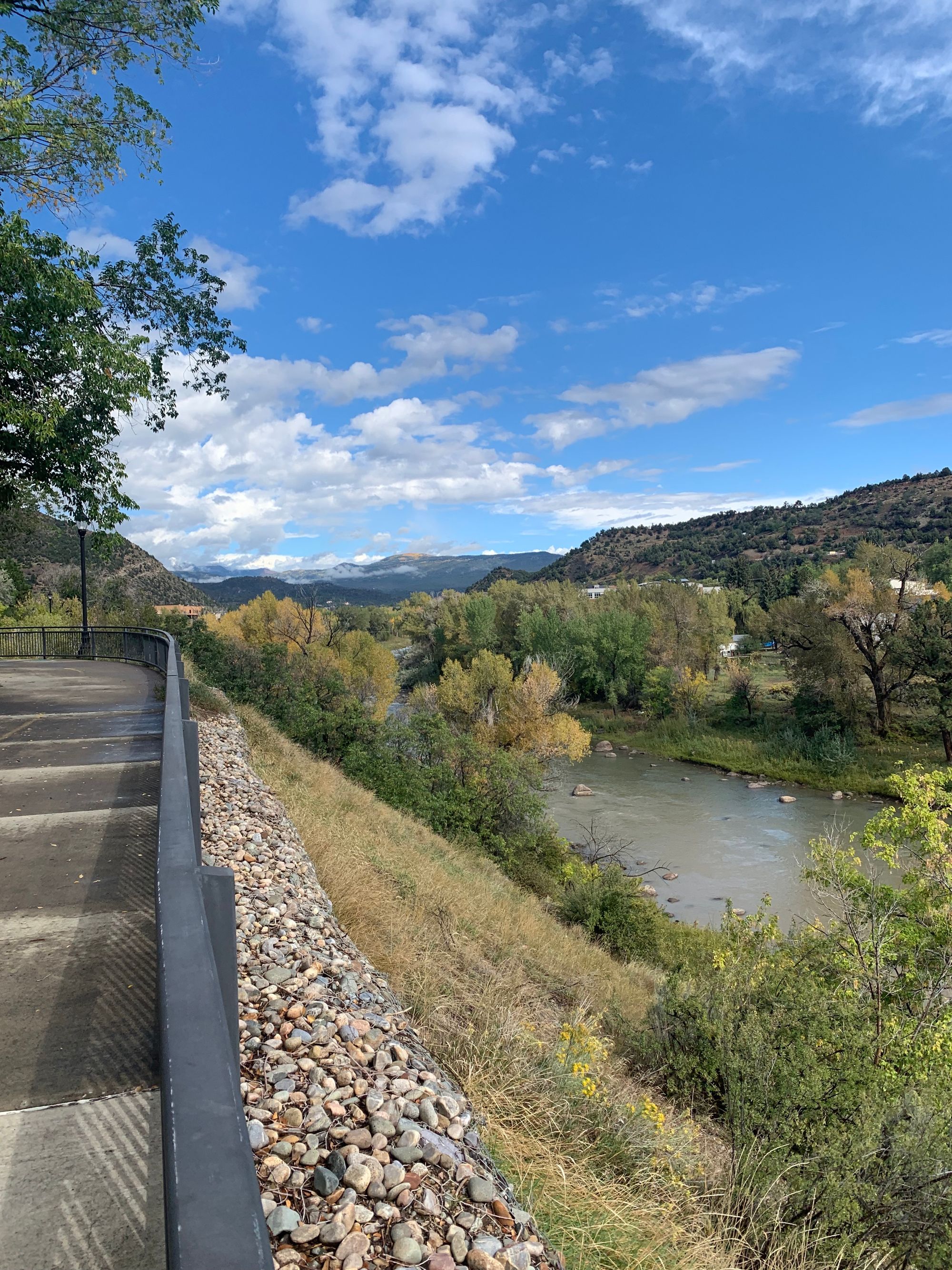
Who doesn't love a trail that follows a moving body of water? As a rower who grew up in Chattanooga, TN (also a town with a river running through it), I'm a sucker for river trails. With ample bridges and vantage points to allow you to view and experience the Animas River, this trail has something for all ages and pets. Paved for 7 miles, biking is also a great option. Plus if you get hungry or thirsty along the way, Animas Brewing Company located downtown by the "train bridge" is a great pitstop; you can also shop for a picnic at Sunnyside Market located at the southernmost tip of the trail. Be sure to stop at Santa Rita Park to check out the rafters, kayakers and surfers playing in the rapids.
Difficulty: Easy. 341 ft of elevation gain
Length: 7 miles one way
Terrain: Paved
Multiple access points. More info
Sky Steps and Rim Trail
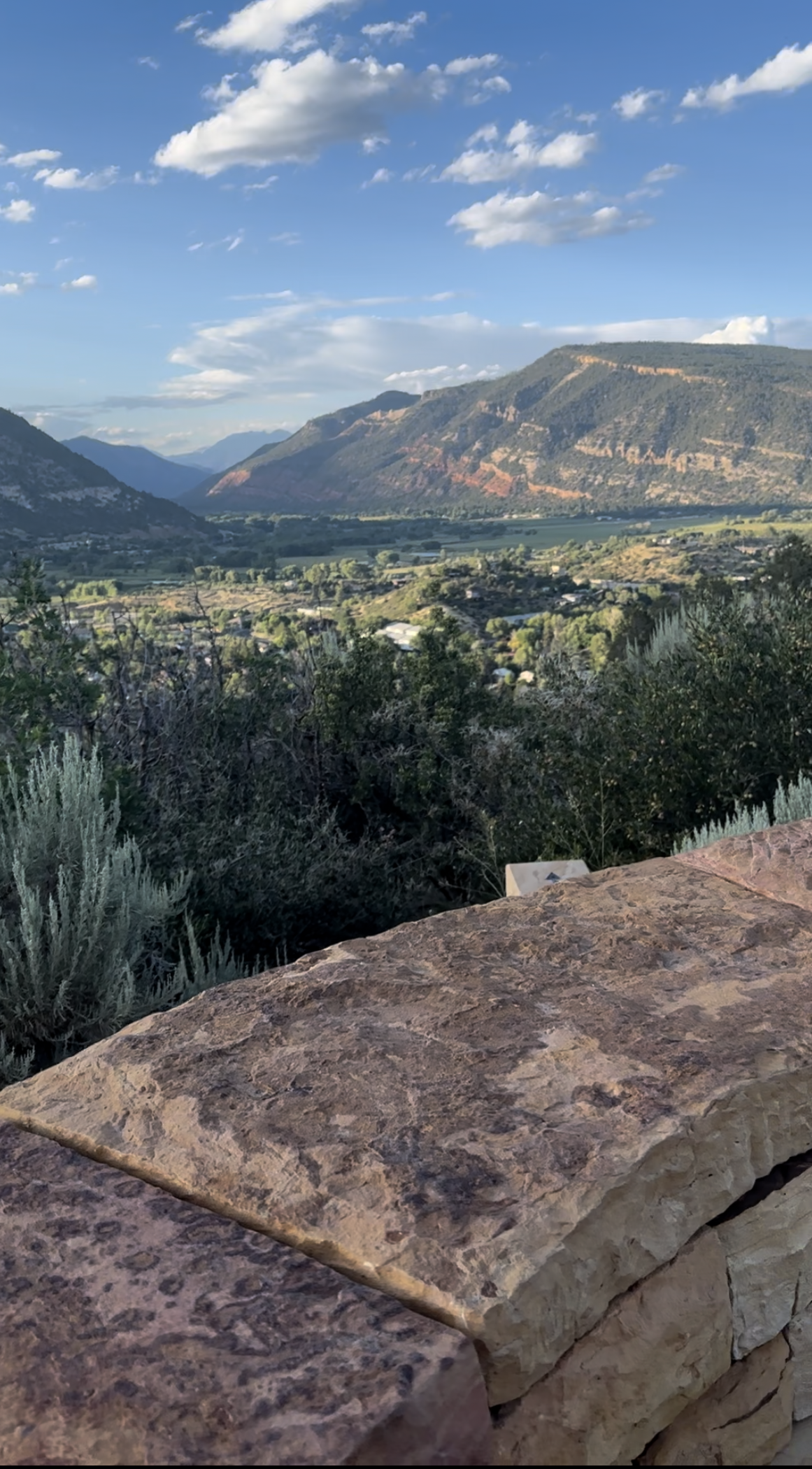
Climbing stairs may not be your idea of a fun hike, but the views (and workout) are well worth it. (You can also skip the steps and just drive up to the Rim Trail if you'd prefer.) Since moving downtown, this trail has become a staple for me, as it affords the prettiest views with the easiest access. Go at golden hour, 1-2 hours before sunset, for the best lighting and be sure to visit the pithouse replica with the white painted heart located a few steps away from Lion's Den, where the above photo was taken.
Difficulty: If Sky Steps included, moderate. Otherwise, Easy. ("Rim Trail, Lions Den Trail Loop" on AllTrails - I do this as an out & back: Sky Steps to Rim Trail to Lions Den Trail and then back.)
Length: 3.5 miles out-and-back, 629 ft of elevation gain
Terrain: Dirt
Multiple access points. Want to bypass the Sky Steps? Park at the Fort Lewis College Stadium Parking Lot.
Animas Mountain
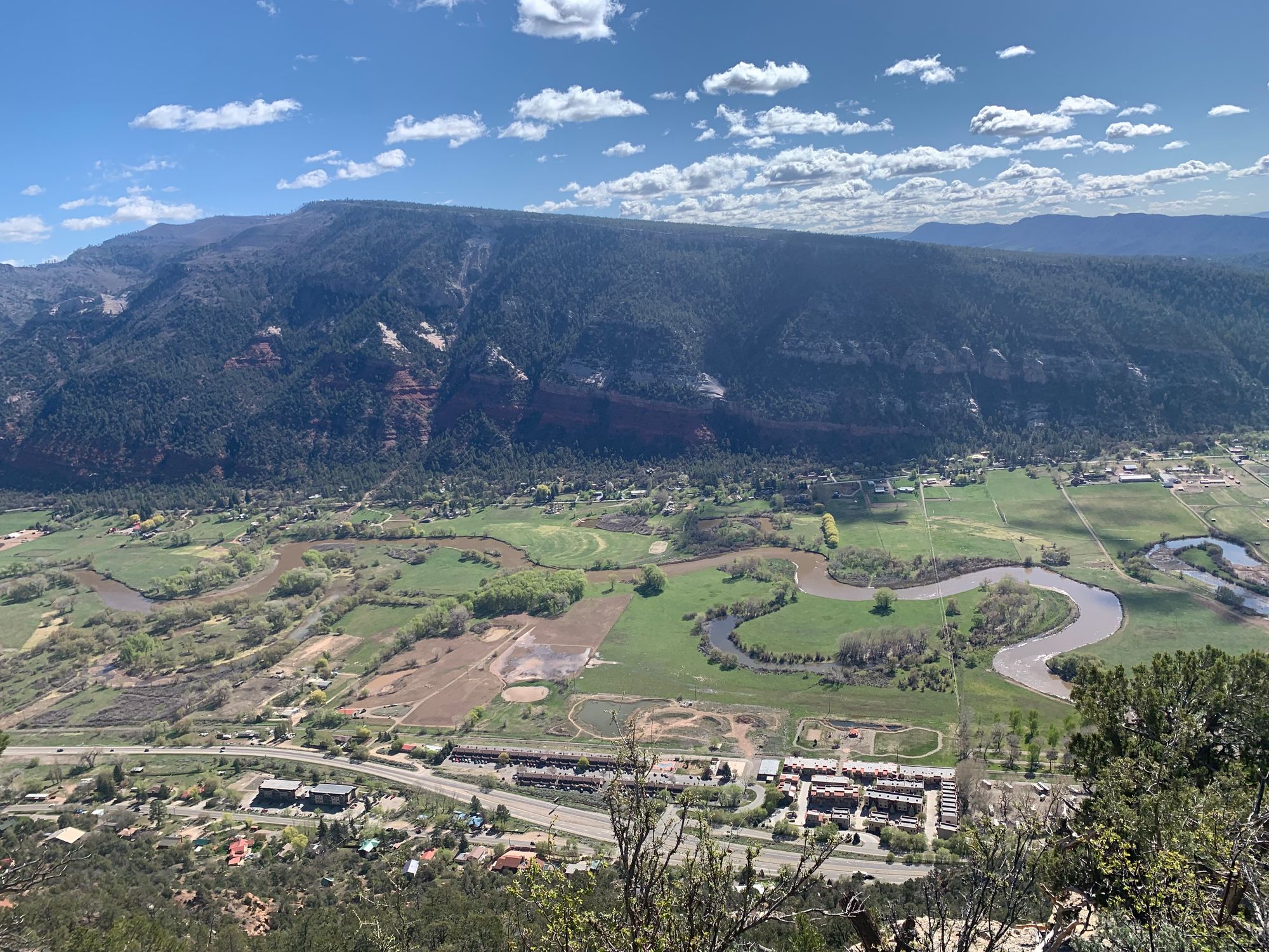
I can't say enough good things about this hike. It was one of the first hikes I did when I visited Durango, and one of the reasons I live here now. Yes, it's that good, life-changing even. Maybe it's because I spent 7 years in flat-as-heck Texas, but I really couldn't believe that one could hike a mountain from town and have AWESOME 360 degree views. Yes, it's a bit challenging; it's a mountain after all. But it's so worth it if you have the time and the stamina. One downside to this trail is that there's not alot of shade, so it can be challenging for humans and dogs in the Summer. Start early and bring lots of water and sun protection.
Difficulty: moderate, 1,558 ft of elevation gain ("Animas Mountain Outer Loop" on AllTrails)
Length: 6.1 mile loop
Terrain: Dirt
Trailhead: Search "Animas Mountain East Trailhead" in Google Maps (Located off of 32nd street)
More info from Durango Trails
Castle Rock
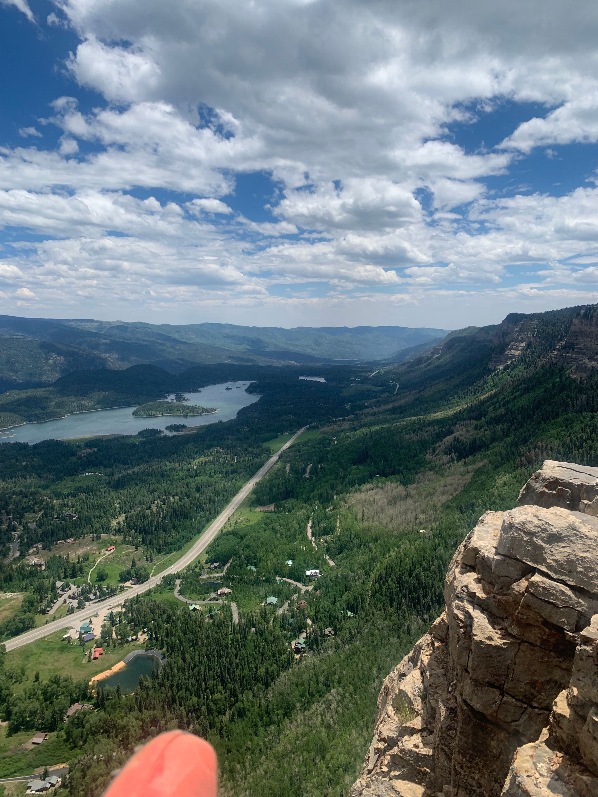
I will forever remember the first time I hiked this trail. It was early October, the Aspens were already firing and just as we ascended to the summit, took in the breathtaking view and snapped a couple of photos, it started to hail. Not rain, hail. It was a bone-chilling slick and muddy run/walk back down to the trailhead but a memory I'll never forget. Luckily we had already made plans to visit the hot springs after the hike. Lesson learned to make sure and summit before Noon (even if it's not Summer), as this hike is higher in elevation and tends to get weather in the afternoon i.e. thunderstorms or if you're lucky, hail storms.
Difficulty: moderate/hard based on elevation gain over a short length, 1,666 ft of elevation gain ("Castle Rock via Elbert Creek" on AllTrails)
Length: 5.3 miles out & back
Terrain: Dirt
Trailhead: Needles Gas Station (35 mins North of Durango on 550), park on the left away from the Gas Station.
More info from Durango Trails
Cascade Creek
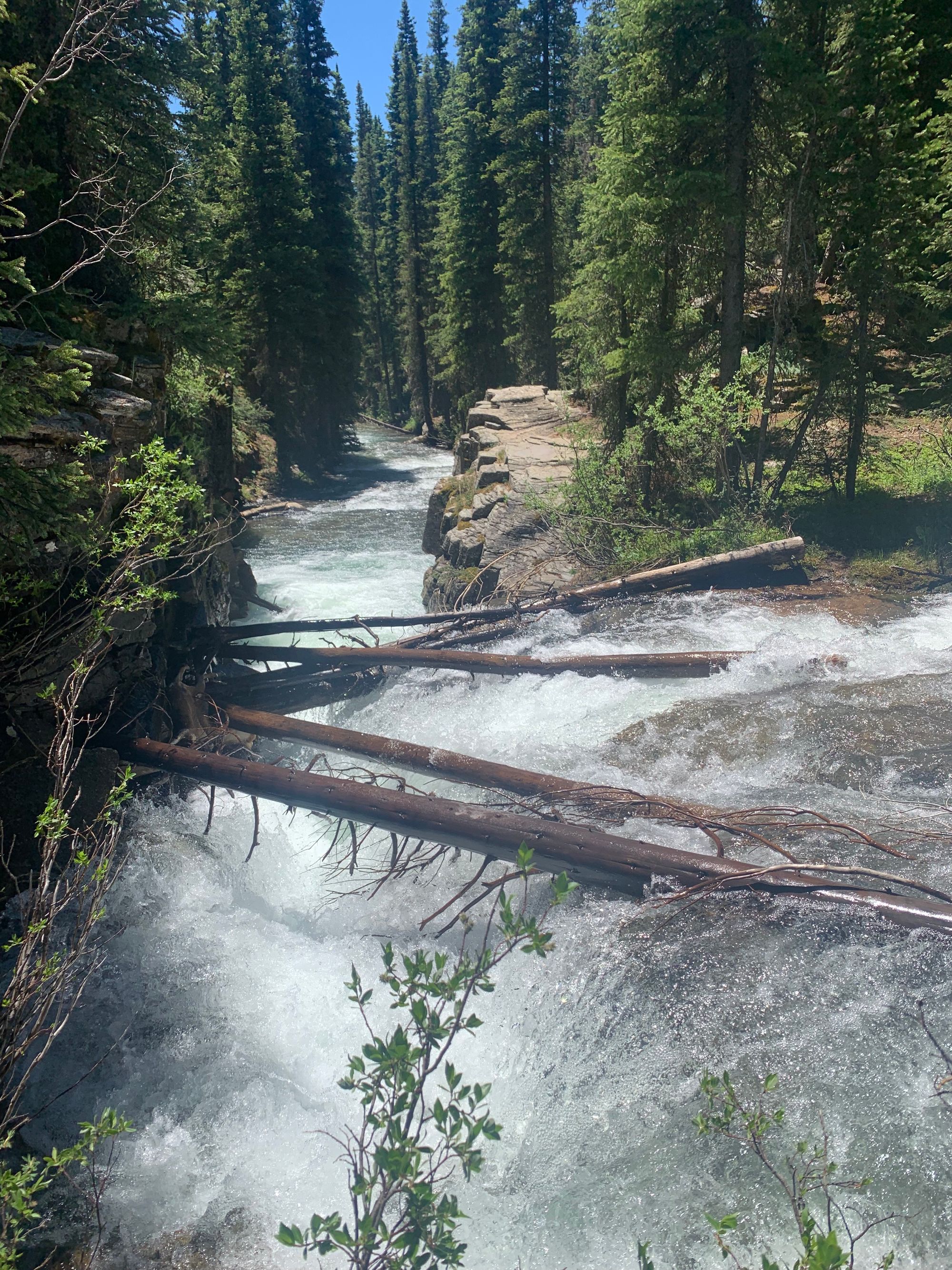
I recently hiked this for the first time and all I can say is: Holy wow! Why did it take me so long to hike this trail!? If you like waterfalls, this hike will make your day. The trail follows (you guessed it) Cascade Creek, so you're treated with views and sounds of gushing water for the majority of the time. There are at least two awe-inspiring "major" waterfalls, one at mile 3.5 and one at mile 4 from the bridge. I particularly love this trail for Summer because although there's quite a bit of elevation gain, it's fairly gradual. Plus, you have tons of shade, as you're hiking in forest for most of the time.
I highly encourage you to download the AllTrails app for this one, as I almost missed the second waterfall. Feel free to turn around after the second major waterfall at mile 4, as there's not too much to see after that.
Difficulty: moderate/hard, 1,620 ft of elevation gain ("Cascade Creek East Fork" on AllTrails)
Length: 8 miles out & back (10.3 miles if you hike the whole East Fork trail)
Terrain: Dirt
Trailhead: 40 mins North of Durango off of 550 just past Purgatory / Cascade Village Condos
More info from Durango Trails
Honorable Mentions
Perins Peak
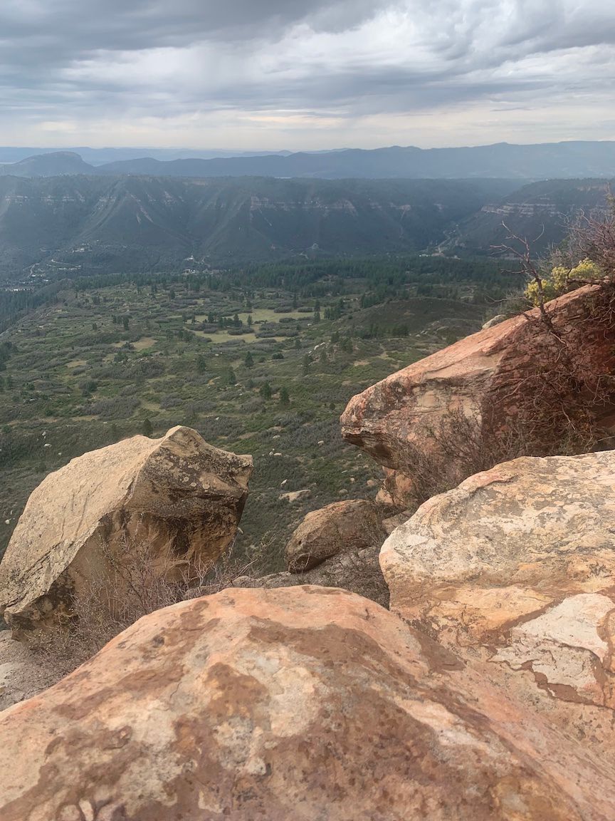
What can I say, I love climbing small mountains with BIG views. And this one's no exception. Honorable mention because the window for hiking this is short due to habitat protection: August 1 - November 30. Due to it being closed for the majority of the year, the trail becomes quite overgrown and buggy. Additionally, the beginning part of this hike was damaged due to a forest fire which is kind've a bummer. It's still a great trail if you have the time and looking to get on top of a mountain that isn't Animas. 5.9 miles with 1,561 feet of elevation gain.
More info: Perins Peak on Durango Trails
See "Perins Peak" on AllTrails
Cliff Rock Park - Twin Buttes
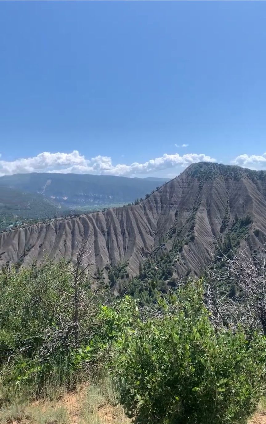
This is a fantastic trail with views of Hogsback and the town of Durango. It's also fairly easy at 4.6 miles and 652 ft of elevation gain. (I feel like a true Durangoan for saying that this is an easy hike.) Honorable mention only because there's no climatic summit/waterfall but truth be told, this trail bests most trails I've been on outside of Colorado and will still be sure to wow any visiting family and friends.
More info: Cliffrock Loop on Durango Trails
See "Cliff Rock Park from Twin Buttes Avenue" on AllTrails
CONTACT INFO
Questions? Comments? Wanna hire me as your personal hiking guide?
Sweet! Contact me, Sheri, at goduranco.co@gmail.com.
